-
The Suffolk Coast and Heaths Path
-
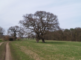
Trees And Byway
The Suffolk Coast and Heaths Path
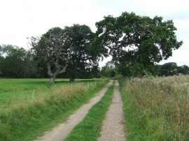
Trees And Byway
Location and coordinates are for the approximate centre of Craft Plantation within this administrative area. Geographic features and populated places may cross administrative borders.