-
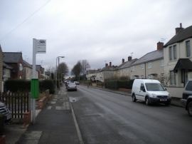
Clumber Street, Kirkby
-
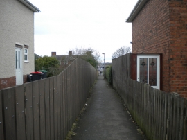
Footpath to Welbeck Street, Kirkby
Clumber Street, Kirkby
Footpath to Welbeck Street, Kirkby
Location and coordinates are for the approximate centre of Cox Moor within this administrative area. Geographic features and populated places may cross administrative borders.