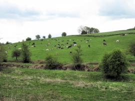
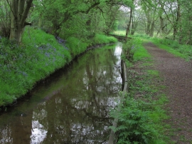
Cowhay Wood, Staffordshire

« Gazetteer Entry
Upload Photo

Cowhay Wood, Staffordshire

  • Parish/Community: Longsdon
  • District/Borough: Staffordshire Moorlands
  • County: Staffordshire
  • Region: West Midlands
  • Category: Landcover
  • Type: Forest or Wood
  • Latitude/Longitude: 53°6'21"N 2°3'39"W
  • Eastings/Northings: 396009, 356533
  • OS Grid: SJ960565
  • Mapcode Local: GBR 24N.7QD
  • Mapcode Global: WHBCH.96S6

Location and coordinates are for the approximate centre of Cowhay Wood within this administrative area. Geographic features and populated places may cross administrative borders.

BritishPlaceNames.uk is a Good Stuff website.