-
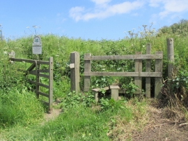
Nat Trust sign, Cowbar Nab
-
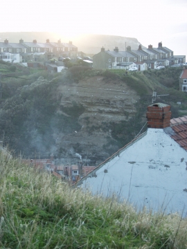
Sunset across the Cowbar
Nat Trust sign, Cowbar Nab
Sunset across the Cowbar
Location and coordinates are for the approximate centre of Cowbar within this administrative area. Geographic features and populated places may cross administrative borders.