-
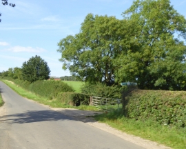
Footpaths crossing the road south of Preston Capes
-
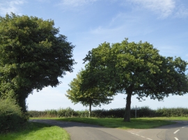
Trees at a road junction north of Canons Ashby
Footpaths crossing the road south of Preston Capes
Trees at a road junction north of Canons Ashby
Location and coordinates are for the approximate centre of Cow Pasture Wood within this administrative area. Geographic features and populated places may cross administrative borders.