-

Looking across Countisbury Common towards Kipscombe Farm
-
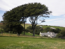
Kipscombe Farm
Looking across Countisbury Common towards Kipscombe Farm
Kipscombe Farm
Location and coordinates are for the approximate centre of Countisbury Common within this administrative area. Geographic features and populated places may cross administrative borders.