-
Road to Coulin Lodge
-

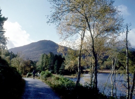
Pine trees and Loch Clair
Road to Coulin Lodge
Pine trees and Loch Clair
Location and coordinates are for the approximate centre of Coulin Lodge within this administrative area. Geographic features and populated places may cross administrative borders.