-
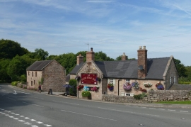
The Olde Star Inn at Cotton
-
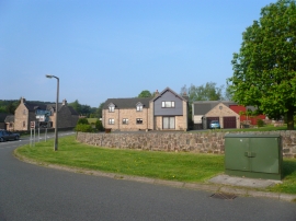
Houses near the end of Beelow Lane
The Olde Star Inn at Cotton
Houses near the end of Beelow Lane
Other current and historical names
Location and coordinates are for the approximate centre of Cotton within this administrative area. Geographic features and populated places may cross administrative borders.