-
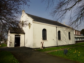
St Andrews And Blessed George Haydock Church
-

Fuel Filling Station on Tag Lane
St Andrews And Blessed George Haydock Church
Fuel Filling Station on Tag Lane
Location and coordinates are for the approximate centre of Cottam within this administrative area. Geographic features and populated places may cross administrative borders.