-
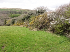
Hedgerow in Blossom
-
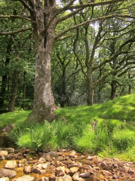
Woodland by the Glaze Brook
Hedgerow in Blossom
Woodland by the Glaze Brook
Location and coordinates are for the approximate centre of Corringdon Wood within this administrative area. Geographic features and populated places may cross administrative borders.