-
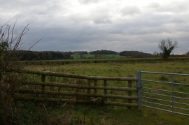
Path towards Bletchingdon, by Stonehouse Farm
-
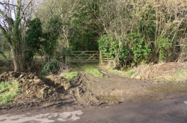
Gateway entrance to private woodland (Ash Spinney)
Path towards Bletchingdon, by Stonehouse Farm
Gateway entrance to private woodland (Ash Spinney)
Location and coordinates are for the approximate centre of Cordle Bushes within this administrative area. Geographic features and populated places may cross administrative borders.