-
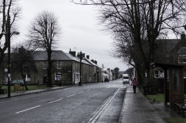
Dreich at Newcastleton
-
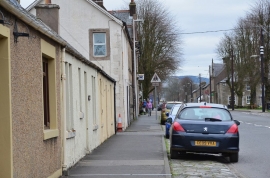
South Hermitage Street, Newcastleton
Dreich at Newcastleton
South Hermitage Street, Newcastleton
Other current and historical names
Location and coordinates are for the approximate centre of Copshaw Holm within this administrative area. Geographic features and populated places may cross administrative borders.