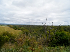
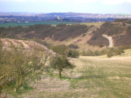
Coombe Bottom, Buckinghamshire

« Gazetteer Entry
Upload Photo

Coombe Bottom, Buckinghamshire

  • Parish/Community: Ivinghoe
  • District/Borough: Aylesbury Vale
  • County: Buckinghamshire
  • Region: South East
  • Category: Geographic Feature
  • Type: Valley
  • Latitude/Longitude: 51°50'59"N 0°36'3"W
  • Eastings/Northings: 496454, 217725
  • OS Grid: SP964177
  • Mapcode Local: GBR F3Y.YNJ
  • Mapcode Global: VHFRJ.JRLT

Location and coordinates are for the approximate centre of Coombe Bottom within this administrative area. Geographic features and populated places may cross administrative borders.

BritishPlaceNames.uk is a Good Stuff website.