-

Culvert at Chain Bridge in Woburn Park, Bedfordshire
-
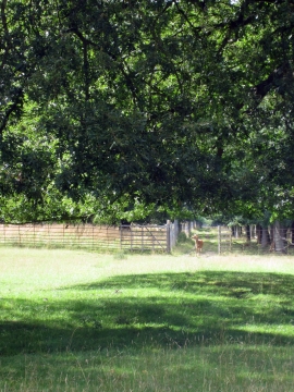
Deer on a path in the Woburn estate
Culvert at Chain Bridge in Woburn Park, Bedfordshire
Deer on a path in the Woburn estate
Location and coordinates are for the approximate centre of Commons Clump within this administrative area. Geographic features and populated places may cross administrative borders.