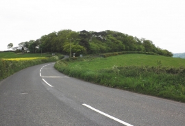
Common Piece Plantation, Devon

« Gazetteer Entry
Upload Photo

Common Piece Plantation, Devon

  • Parish/Community: Holcombe Burnell
  • District/Borough: Teignbridge
  • County: Devon
  • Region: South West
  • Category: Landcover
  • Type: Forest or Wood
  • Latitude/Longitude: 50°42'12"N 3°36'56"W
  • Eastings/Northings: 286012, 90555
  • OS Grid: SX860905
  • Mapcode Local: GBR QQ.V0R8
  • Mapcode Global: FRA 3796.Z50

Location and coordinates are for the approximate centre of Common Piece Plantation within this administrative area. Geographic features and populated places may cross administrative borders.

BritishPlaceNames.uk is a Good Stuff website.