-

Keane at Bedgebury Forest
-
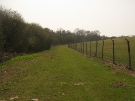
Footpath from Shearnfold Wood
Keane at Bedgebury Forest
Footpath from Shearnfold Wood
Location and coordinates are for the approximate centre of Combwell Wood within this administrative area. Geographic features and populated places may cross administrative borders.