-
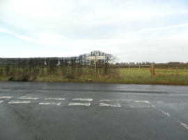
Junction of Hopton Lane with the road between Leigh and Alfrick
-

Ford crossing Leigh Brook by Pettyford Bridge
Junction of Hopton Lane with the road between Leigh and Alfrick
Ford crossing Leigh Brook by Pettyford Bridge
Location and coordinates are for the approximate centre of Combehill Coppice within this administrative area. Geographic features and populated places may cross administrative borders.