-
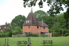
Broomfield Oast, Colliers Green Road
-
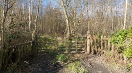
Entrance into Nightingale Wood off Colliers Green Road Kent
Broomfield Oast, Colliers Green Road
Entrance into Nightingale Wood off Colliers Green Road Kent
Location and coordinates are for the approximate centre of Colliers' Green within this administrative area. Geographic features and populated places may cross administrative borders.