-
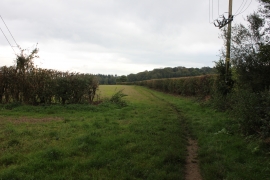
Chiltern Way between Winchmore Hill and Coleshill
-
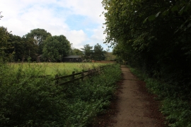
Footpath approaching Coleshill from Winchmore Hill
Chiltern Way between Winchmore Hill and Coleshill
Footpath approaching Coleshill from Winchmore Hill
Location and coordinates are for the approximate centre of Coleshill Larches within this administrative area. Geographic features and populated places may cross administrative borders.