-
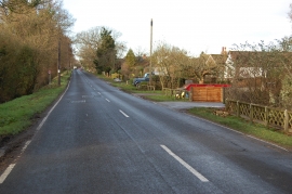
Magpie Hall Lane
-
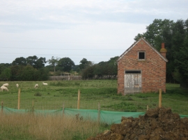
Disused Farm building beside Magpie Hall Road
Magpie Hall Lane
Disused Farm building beside Magpie Hall Road
Location and coordinates are for the approximate centre of Coldblow Wood within this administrative area. Geographic features and populated places may cross administrative borders.