-

Clouds hug the mountainside above Tom Bheithe
-
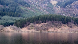
Tom Bheithe across Loch Lubnaig
Clouds hug the mountainside above Tom Bheithe
Tom Bheithe across Loch Lubnaig
Location and coordinates are for the approximate centre of Coire An Dubh Shruith within this administrative area. Geographic features and populated places may cross administrative borders.