-
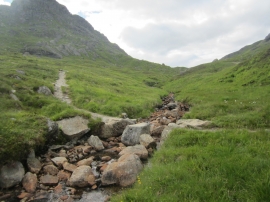
Path crossing the Allt a' Bhalachain
-

Heading towards the path junction
Path crossing the Allt a' Bhalachain
Heading towards the path junction
Location and coordinates are for the approximate centre of Coire a' Bhalachain within this administrative area. Geographic features and populated places may cross administrative borders.