-

View towards Y Lliwedd from Nantgwynant
-
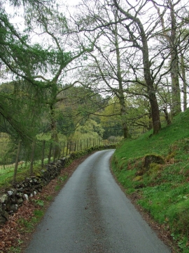
Minor Road
View towards Y Lliwedd from Nantgwynant
Minor Road
Location and coordinates are for the approximate centre of Coed yr Odyn within this administrative area. Geographic features and populated places may cross administrative borders.