-
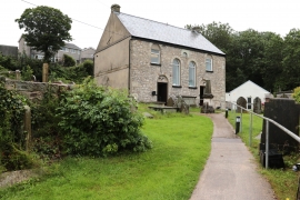
Smyrna Baptist Church
-
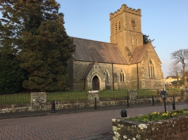
All Saints Church, Penyfai
Smyrna Baptist Church
All Saints Church, Penyfai
Location and coordinates are for the approximate centre of Coed-yr-hela within this administrative area. Geographic features and populated places may cross administrative borders.