-
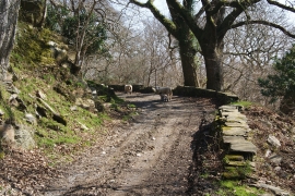
Wandering sheep on the farm track
-
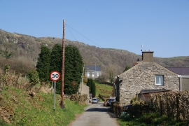
Ty'n-y-berllan
Wandering sheep on the farm track
Ty'n-y-berllan
Location and coordinates are for the approximate centre of Coed Tyn-llan within this administrative area. Geographic features and populated places may cross administrative borders.