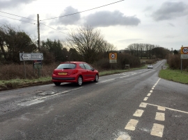
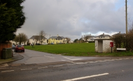
Coed Pant-Llywydd, Vale of Glamorgan

« Gazetteer Entry
Upload Photo

Coed Pant-Llywydd, Vale of Glamorgan

  • Parish/Community: Llangan
  • Unitary Authority: Vale of Glamorgan
  • Region: Wales
  • Category: Landcover
  • Type: Forest or Wood
  • Latitude/Longitude: 51°29'42"N 3°28'37"W
  • Eastings/Northings: 297556, 178391
  • OS Grid: SS975783
  • Mapcode Local: GBR HJ.K43G
  • Mapcode Global: VH5HL.PP44

Location and coordinates are for the approximate centre of Coed Pant-Llywydd within this administrative area. Geographic features and populated places may cross administrative borders.

BritishPlaceNames.uk is a Good Stuff website.