-
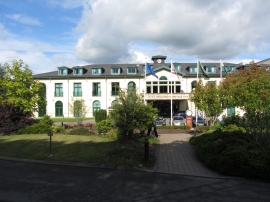
Vale Resort hotel, Hensol
-
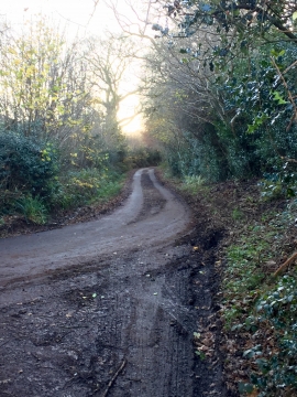
Track junction
Vale Resort hotel, Hensol
Track junction
Location and coordinates are for the approximate centre of Coed Llwynrhyddid within this administrative area. Geographic features and populated places may cross administrative borders.