-
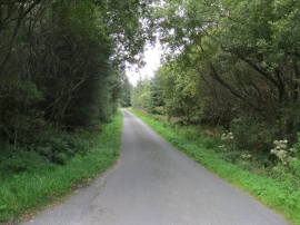
Ffordd trwy Goedwig Glasfryn - Road through Glasfryn forest
-
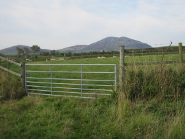
Cae ger Fferm Brynbychan - Field near Brynbychan Farm
Ffordd trwy Goedwig Glasfryn - Road through Glasfryn forest
Cae ger Fferm Brynbychan - Field near Brynbychan Farm
Location and coordinates are for the approximate centre of Coed Jonathan within this administrative area. Geographic features and populated places may cross administrative borders.