-
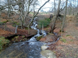
Bran Brook north of Cwmbran
-

Path crosses Bran Brook north of Cwmbran
Bran Brook north of Cwmbran
Path crosses Bran Brook north of Cwmbran
Location and coordinates are for the approximate centre of Coed Gwern-Esgob within this administrative area. Geographic features and populated places may cross administrative borders.