-

Farm Buildings on Coed Ffynnon Dyfrig
-
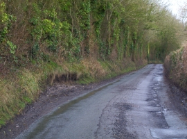
Country Lane Passing Place
Farm Buildings on Coed Ffynnon Dyfrig
Country Lane Passing Place
Location and coordinates are for the approximate centre of Coed Ffynnon Dyfrig within this administrative area. Geographic features and populated places may cross administrative borders.