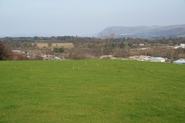
Coed Ffridd-lâs, Gwynedd

« Gazetteer Entry
Upload Photo

Coed Ffridd-lâs, Gwynedd

  • Built-Up Area: Bangor
  • Parish/Community: Bangor
  • Unitary Authority: Gwynedd
  • Region: Wales
  • Category: Landcover
  • Type: Forest or Wood
  • Latitude/Longitude: 53°13'9"N 4°7'18"W
  • Eastings/Northings: 258431, 371224
  • OS Grid: SH584712
  • Mapcode Local: GBR 5Q.176L
  • Mapcode Global: WH547.NBFY

Location and coordinates are for the approximate centre of Coed Ffridd-lâs within this administrative area. Geographic features and populated places may cross administrative borders.

BritishPlaceNames.uk is a Good Stuff website.