-
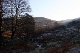
Sheep grazing, Nant Bwlch Glas
-
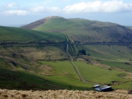
Moel Fferm
Sheep grazing, Nant Bwlch Glas
Moel Fferm
Location and coordinates are for the approximate centre of Coed Bryny fedwen-fawr within this administrative area. Geographic features and populated places may cross administrative borders.