-
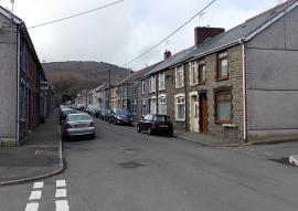
West along Glanrhyd Street, Cwmaman
-
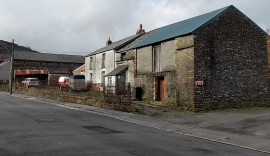
Fforchaman Farm buildings, Cwmaman
West along Glanrhyd Street, Cwmaman
Fforchaman Farm buildings, Cwmaman
Location and coordinates are for the approximate centre of Coed Blaenaman-fach within this administrative area. Geographic features and populated places may cross administrative borders.