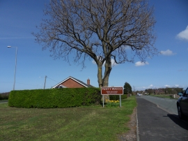
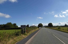
Coed Allt-y-tywod, Flintshire

« Gazetteer Entry
Upload Photo

Coed Allt-y-tywod, Flintshire

  • Built-Up Area: Gorsedd
  • Parish/Community: Whitford
  • Unitary Authority: Flintshire
  • Region: Wales
  • Category: Landcover
  • Type: Forest or Wood
  • Latitude/Longitude: 53°17'3"N 3°16'57"W
  • Eastings/Northings: 314591, 377136
  • OS Grid: SJ145771
  • Mapcode Local: GBR 5ZJG.4D
  • Mapcode Global: WH76J.KQ21

Location and coordinates are for the approximate centre of Coed Allt-y-tywod within this administrative area. Geographic features and populated places may cross administrative borders.

BritishPlaceNames.uk is a Good Stuff website.