-
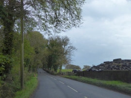
Silage and trees on Cocktree Moor
-
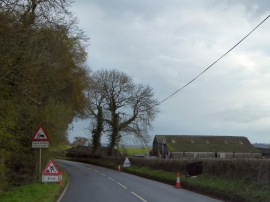
Barn by the A3124 at Cocktree Moor
Silage and trees on Cocktree Moor
Barn by the A3124 at Cocktree Moor
Location and coordinates are for the approximate centre of Cocktree Moor Plantation within this administrative area. Geographic features and populated places may cross administrative borders.