-
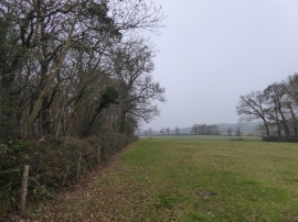
Hill Barton Copse
-
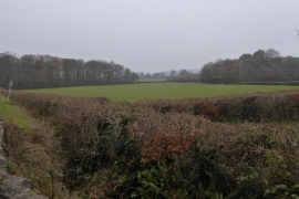
Fields and woods south of Binney Bridge
Hill Barton Copse
Fields and woods south of Binney Bridge
Location and coordinates are for the approximate centre of Cockspark Plantation within this administrative area. Geographic features and populated places may cross administrative borders.