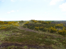
Cocks' Moor Pond, Dorset

« Gazetteer Entry
Upload Photo

Cocks' Moor Pond, Dorset

  • Parish/Community: Holt
  • District/Borough: East Dorset
  • County: Dorset
  • Region: South West
  • Category: Water Feature
  • Type: Inland Water
  • Latitude/Longitude: 50°50'28"N 1°55'14"W
  • Eastings/Northings: 405690, 104627
  • OS Grid: SU056046
  • Mapcode Local: GBR 42N.18P
  • Mapcode Global: FRA 66VW.5LH

Location and coordinates are for the approximate centre of Cocks' Moor Pond within this administrative area. Geographic features and populated places may cross administrative borders.

BritishPlaceNames.uk is a Good Stuff website.