-

Former Ford on Seiver's Lane
-
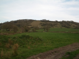
Hilfield: pasture land, looking towards Batcombe Hill
Former Ford on Seiver's Lane
Hilfield: pasture land, looking towards Batcombe Hill
Location and coordinates are for the approximate centre of Cockeram's Plantation within this administrative area. Geographic features and populated places may cross administrative borders.