-
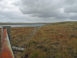
Gate and fence by Loch Fada, Isle of Lewis
-

Bog between Cnoc nan Tr
Gate and fence by Loch Fada, Isle of Lewis
Bog between Cnoc nan Tr
Location and coordinates are for the approximate centre of Cnoc nan Tr within this administrative area. Geographic features and populated places may cross administrative borders.