-
Cnoc an t-Sabhail
-
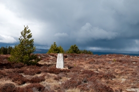
Summit area of Cnoc an t-Sabhail
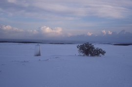
Cnoc an t-Sabhail
Summit area of Cnoc an t-Sabhail
Location and coordinates are for the approximate centre of Cnoc An T-Sabhail within this administrative area. Geographic features and populated places may cross administrative borders.