-
Bridge over the A74(M)
-
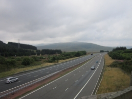
The M74 from the B7076
Bridge over the A74(M)
The M74 from the B7076
Location and coordinates are for the approximate centre of Clydes Burn within this administrative area. Geographic features and populated places may cross administrative borders.