-
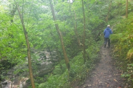
A wet day, Shittlehope Burn
-
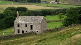
Deserted House Above Shittlehope Burn
A wet day, Shittlehope Burn
Deserted House Above Shittlehope Burn
Location and coordinates are for the approximate centre of Clint's Wood within this administrative area. Geographic features and populated places may cross administrative borders.