-
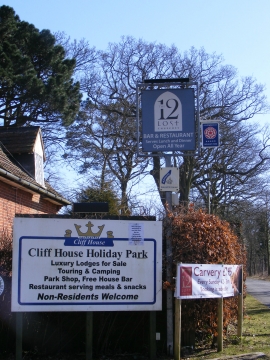
Signs at Cliff House Holiday Park
-
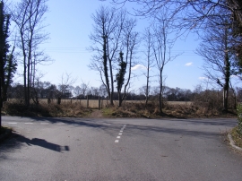
Cliff House Holiday Park entrance
Signs at Cliff House Holiday Park
Cliff House Holiday Park entrance
Location and coordinates are for the approximate centre of Cliff Belt within this administrative area. Geographic features and populated places may cross administrative borders.