-
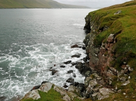
By Clettna Taing, Houss Ness
-

Ayre Dyke, an isthmus between Clift Sound and West Voe
By Clettna Taing, Houss Ness
Ayre Dyke, an isthmus between Clift Sound and West Voe
Location and coordinates are for the approximate centre of Clettna Taing within this administrative area. Geographic features and populated places may cross administrative borders.