-
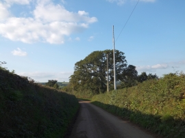
Crossgate crossroads and phone mast
-
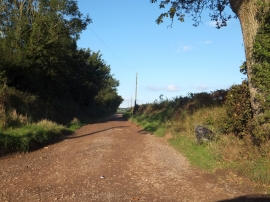
Rashleigh Lane from Crossgate
Crossgate crossroads and phone mast
Rashleigh Lane from Crossgate
Location and coordinates are for the approximate centre of Cleave Copse within this administrative area. Geographic features and populated places may cross administrative borders.