-
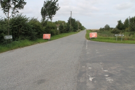
Junction of Claydike Bank and Chapel Lane
-
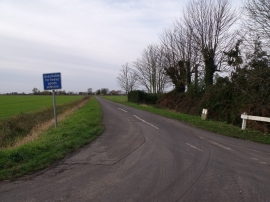
Chapel Lane from Sutterton Drove
Junction of Claydike Bank and Chapel Lane
Chapel Lane from Sutterton Drove
Location and coordinates are for the approximate centre of Claydike Bank within this administrative area. Geographic features and populated places may cross administrative borders.