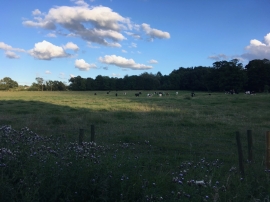
Cinder Path Wood, Lancashire

« Gazetteer Entry
Upload Photo

Cinder Path Wood, Lancashire

  • Parish/Community: Cuerden
  • District/Borough: Chorley
  • County: Lancashire
  • Region: North West
  • Category: Landcover
  • Type: Forest or Wood
  • Latitude/Longitude: 53°42'42"N 2°39'56"W
  • Eastings/Northings: 356155, 424131
  • OS Grid: SD561241
  • Mapcode Local: GBR 9TTJ.N5
  • Mapcode Global: WH96Z.0YVV

Location and coordinates are for the approximate centre of Cinder Path Wood within this administrative area. Geographic features and populated places may cross administrative borders.

BritishPlaceNames.uk is a Good Stuff website.