-

Footpath to Clifton
-
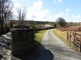
Entrance driveway, Shortacombe House
Footpath to Clifton
Entrance driveway, Shortacombe House
Location and coordinates are for the approximate centre of Churchill Wood within this administrative area. Geographic features and populated places may cross administrative borders.