-
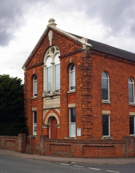
Thurleigh Baptist Chapel (1888)
-
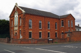
Thurleigh Baptist Chapel (1888)
Thurleigh Baptist Chapel (1888)
Thurleigh Baptist Chapel (1888)
Other current and historical names
Location and coordinates are for the approximate centre of Church End within this administrative area. Geographic features and populated places may cross administrative borders.