-
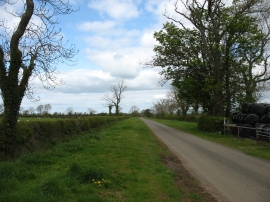
The lane leading out of Sowerby Row
-
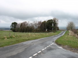
Minor road to Sebergham
The lane leading out of Sowerby Row
Minor road to Sebergham
Location and coordinates are for the approximate centre of Chimneygill Wood within this administrative area. Geographic features and populated places may cross administrative borders.